Placerville
Eastbound
Hwy 50 at Spring, near Placerville, Eastbound, route US-50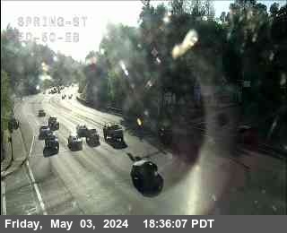
Camera active. Showing latest image.
Active
Real-time views from El Dorado County highways
Eastbound
Hwy 50 at Spring, near Placerville, Eastbound, route US-50Westbound
Hwy 50 at Meyers, near Meyers, Westbound, route US-50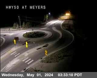
Eastbound
Hwy 50 at Hwy 89, near South Lake Tahoe, Eastbound, route US-50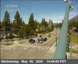
Eastbound
Hwy 50 at Ski Run, near South Lake Tahoe, Eastbound, route US-50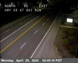
Eastbound
Hwy 50 at Echo Summit, near South Lake Tahoe, Eastbound, route US-50
Westbound
Hwy 50 at Twin Bridges, near Twin Bridges, Westbound, route US-50
Eastbound
Hwy 50 at Sierra EB, near Echo Lake, Eastbound, route US-50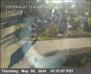
Westbound
Hwy 50 at El Dorado ED50 WB 1, near El Dorado Hills, Westbound, route US-50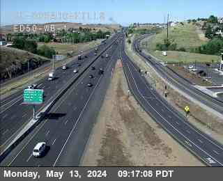
Westbound
Hwy 49 at Pleasant Valley, near Diamond Springs, Westbound, route SR-49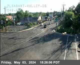
Westbound
Hwy 50 at Canal St, near Placerville, Westbound, route US-50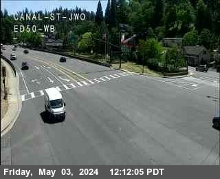
Westbound
Hwy 50 at Bedford, near Placerville, Westbound, route US-50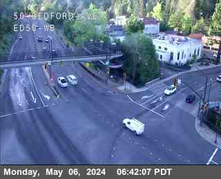

This page collects live cctv data for El Dorado County across every Caltrans district that publishes this data type.
View Real-time cctv updates for highways in El Dorado County, including SR-49, US-50. Whether you are commuting through El Dorado County or traveling long-distance, these live traffic cameras, Caltrans CCTV, freeway webcams provide vital information for a safe trip.
Data is sourced directly from Caltrans and includes coverage of major routes and local highways within the county, specifically monitoring SR-49, US-50. Check back for latest updates on congestion, weather impacts, and road work.