Soda Springs
Eastbound
Hwy 80 at Soda Springs EB, near Soda Springs, Eastbound, route I-80
Camera active. Showing latest image.
Active
Real-time views from Nevada County highways
Eastbound
Hwy 80 at Soda Springs EB, near Soda Springs, Eastbound, route I-80Westbound
Hwy 80 at Old Ag Sta, near Truckee, Westbound, route I-80
Eastbound
Hwy 80 at Hwy 89, near Truckee, Eastbound, route I-80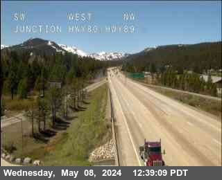
Eastbound
Hwy 80 at 267, near Truckee, Eastbound, route I-80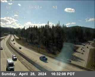
Westbound
Hwy 80 at Truckee Scales, near Truckee, Westbound, route I-80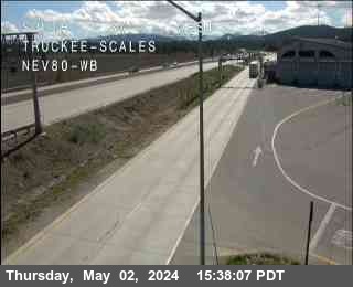
Eastbound
Hwy 80 at Floriston, near Truckee, Eastbound, route I-80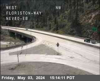
Eastbound
Hwy 80 at Donner Summit, near Soda Springs, Eastbound, route I-80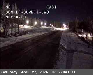
Westbound
Hwy 80 at Donner Lake, near Truckee, Westbound, route I-80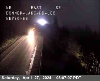
Eastbound
Hwy 80 at Castle Peak, near Soda Springs, Eastbound, route I-80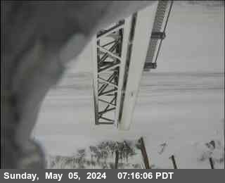
Westbound
Hwy 80 at Truckee Scales WB, near Truckee, Westbound, route I-80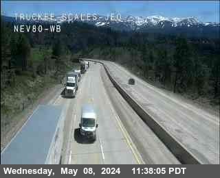
Northbound
Hwy 20 at Dorsey Dr EB, near Grass Valley, Northbound, route SR-20
View current real-time cctv updates for all highways in Nevada County, across the region. Whether you are commuting through Nevada County or traveling long-distance, these live traffic cameras, Caltrans CCTV, freeway webcams provide vital information for a safe trip.
Data is sourced directly from Caltrans and includes coverage of major routes and local highways within the county, covering key transit arteries. Check back for latest updates on congestion, weather impacts, and road work.