San Francisco
Southbound
TV327 -- I-280 : John Daly Blvd, near San Francisco, Southbound, route I-280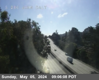
Camera active. Showing latest image.
Active
Real-time views from San Francisco County highways
Southbound
TV327 -- I-280 : John Daly Blvd, near San Francisco, Southbound, route I-280Northbound
TV322 -- I-280 : US-101, near San Francisco, Northbound, route I-280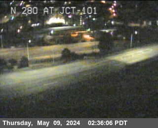
Northbound
TV317 -- I-280 : 6th Street Offramp, near San Francisco, Northbound, route I-280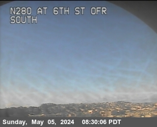

Northbound
TV388 -- SR-1 : Just South of Presidio Tunnel, near San Francisco, Northbound, route SR-1
Eastbound
TV304 -- I-80 : US-101, near San Francisco, Eastbound, route I-80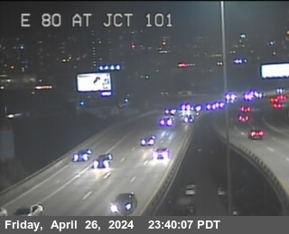
Eastbound
TV316 -- I-80 : 6th Street, near San Francisco, Eastbound, route I-80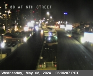

Northbound
TV305 -- US-101 : Just North of Candlestick Park, near San Francisco, Northbound, route US-101
Westbound
TVD01 -- I-80 : Fremont, near San Francisco, Westbound, route I-80
Medianbound
TVD32 -- I-80 : Bay Bridge SAS Tower East, near San Francisco, Medianbound, route I-80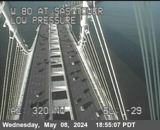
Medianbound
TVD33 -- I-80 : Bay Bridge SAS Tower West, near San Francisco, Medianbound, route I-80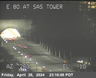
Eastbound
TVD22 -- I-80 : SFOBB Lower Deck Sterling Onramp , near San Francisco, Eastbound, route I-80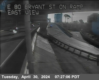
Westbound
TVD31 -- I-80 : Before YBI Tunnel, near San Francisco, Westbound, route I-80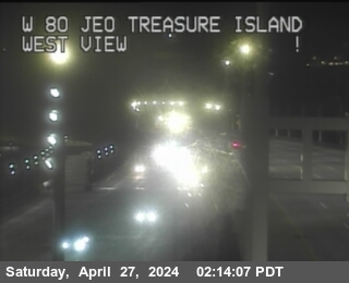
View current real-time cctv updates for all highways in San Francisco County, across the region. Whether you are commuting through San Francisco County or traveling long-distance, these live traffic cameras, freeway webcams provide vital information for a safe trip.
California Road Data provides a digestible view of major routes and local highways within the county, covering key transit arteries. Check back for latest updates on congestion, weather impacts, and road work.